Your partner for professional UAV solutions. Our suite of services is designed to meet the needs of enterprises & governments in conformance with local regulations.
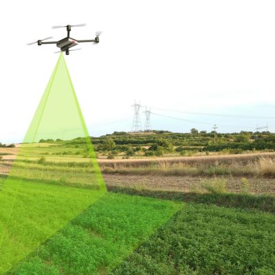
Mapping and Surveying with UAVs
UAVs gather geospatial data using specialized cameras and sensors for mapping and land analysis. They create 3D models and maps, aiding land surveys, infrastructure inspection, and precision agriculture. Drones offer cost-effective data collection benefiting diverse industries.
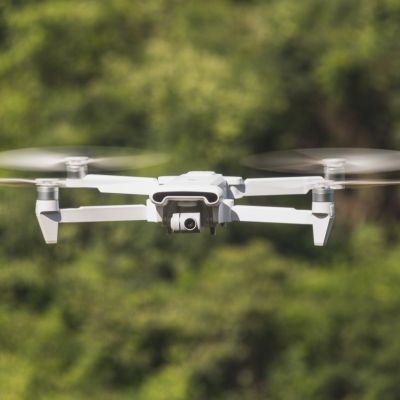
Aerial Inspection and Videography
UAVs equipped with cameras and sensors conduct visual inspections and capture high-quality videos. Used in infrastructure, environmental assessment, and real estate, these drones offer a safe, efficient, and cost-effective way to inspect structures and record unique aerial perspectives.
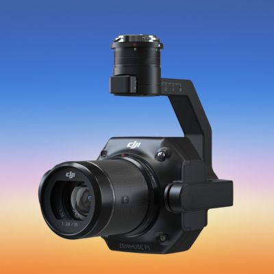
UAV payloads encompass various equipment carried by UAVs for specific tasks. These payloads include cameras, sensors, delivery systems, communication devices, and more, catering to diverse applications from agriculture to mapping and stabilization systems.
Discover our UAV pilot Simulation training, perfect for beginners and those pursuing professional flight certification. No prior experience needed! Start your journey to full UAV pilot certification with our diverse flight plans, ranging from easy to challenging.
Build your UAV flight experience while safeguarding your equipment investment. Our training program is designed for both novice pilots and seasoned professionals.